Our Services
Reliable geospatial services for infrastructure, mining, utilities, and development projects.
<
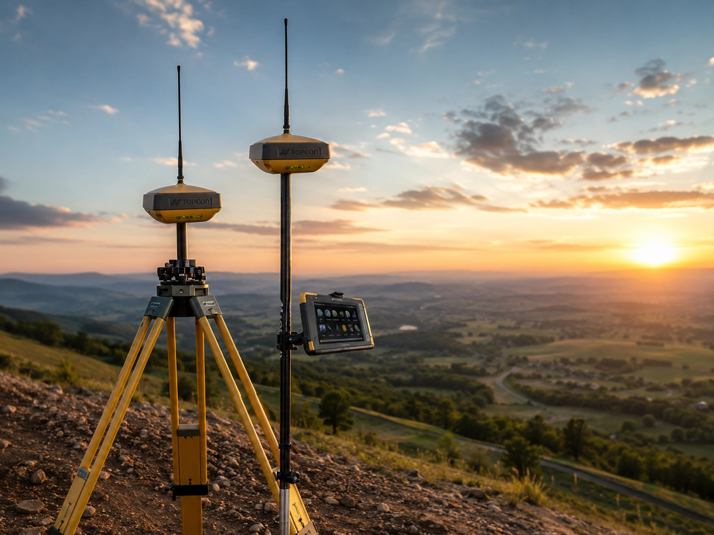
Land Surveying
Boundary, cadastral, and topographic surveys with precision equipment.
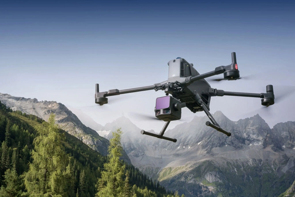
Drone Mapping
Orthophotos, terrain models, inspections, and aerial LiDAR data capture.
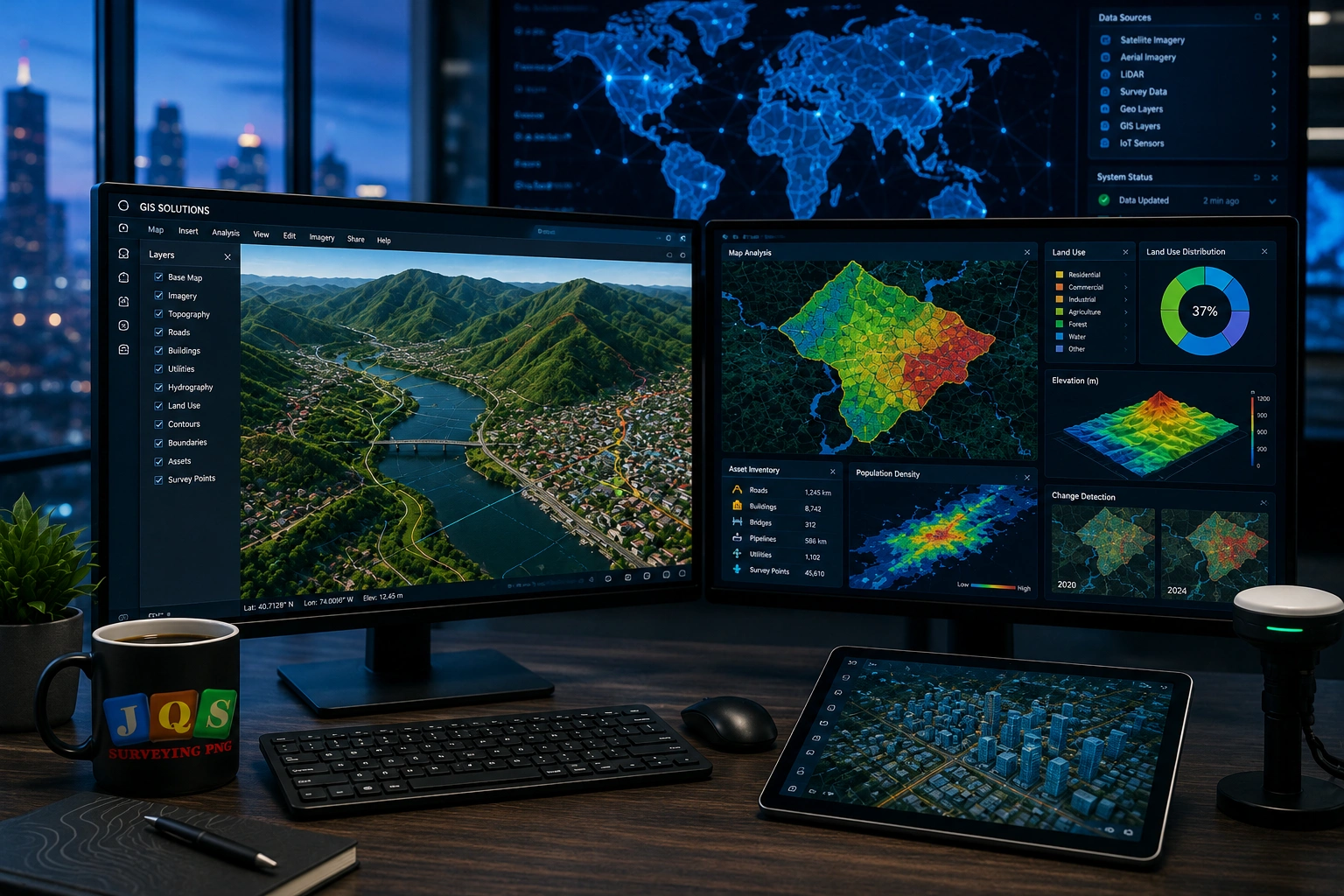
GIS Solutions
Spatial analysis, mapping systems, and asset data management.
Need Accurate Survey Data for Your Project?
Let's discuss your requirements and deliver the right geospatial solution.
Get a Quote