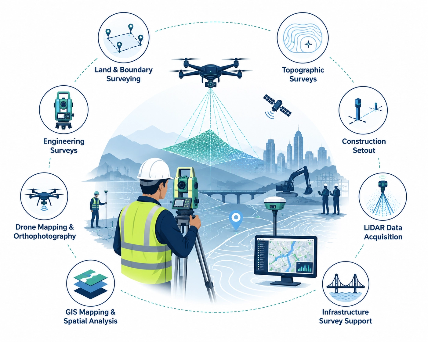
info@jqssurveyingpng.com
Papua New Guinea

About JQS Surveying PNG

Delivering precision surveying, geospatial innovation, and infrastructure support across Papua New Guinea.

Survey Team

Who We Are

JQS Surveying PNG is a professional surveying and geospatial services company providing accurate, reliable, and innovative solutions for construction, mining, infrastructure, land development, and utilities.

We combine modern survey technology with practical field expertise to deliver dependable geospatial data and project support services throughout Papua New Guinea.

Our commitment is to precision, integrity, safety, and timely delivery.

Our Mission

To provide dependable surveying and geospatial solutions that support national development, infrastructure growth, and informed decision-making.

Our Vision

To become Papua New Guinea’s trusted leader in surveying, drone mapping, LiDAR, GIS, and engineering support services.

Why Choose Us

Modern equipment, proven expertise, and dependable project delivery.

Precision

Accurate survey deliverables using advanced technology.

Innovation

Drone mapping, LiDAR, and GIS-enabled workflows.

Reliability

Committed to quality, safety, and consistency.

Timeliness

On-time delivery for fast-moving project schedules.

Our Capabilities

  • Land & Boundary Surveying
  • Topographic Surveys
  • Engineering Surveys
  • Construction Setout
  • Drone Mapping & Orthophotography
  • LiDAR Data Acquisition
  • GIS Mapping & Spatial Analysis
  • Infrastructure Survey Support
Survey Equipment

Partner With A Trusted Surveying Team

Let us support your next infrastructure, mining, or development project.

Request Quote