Project Capabilities
A glimpse into the precision, technology, and expertise we bring to every project.
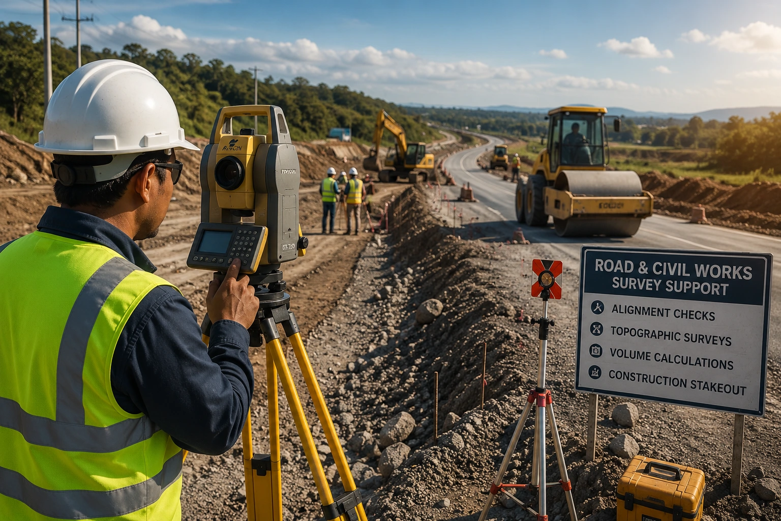
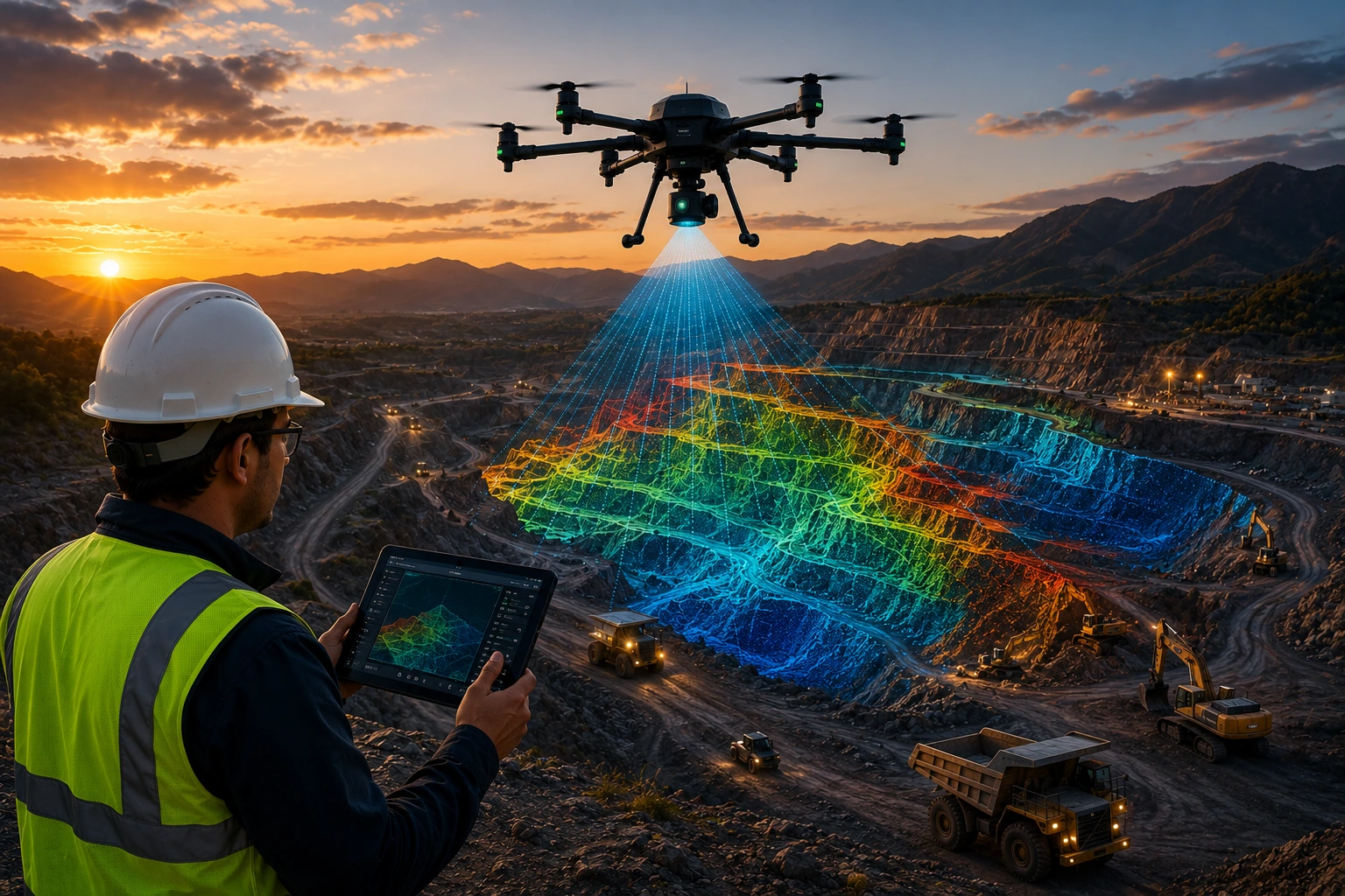
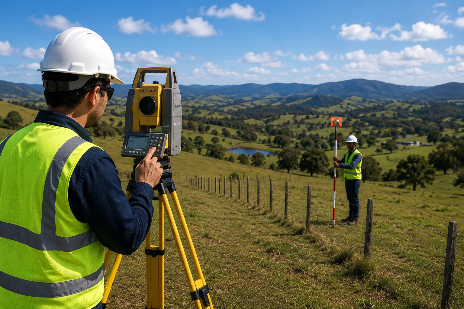
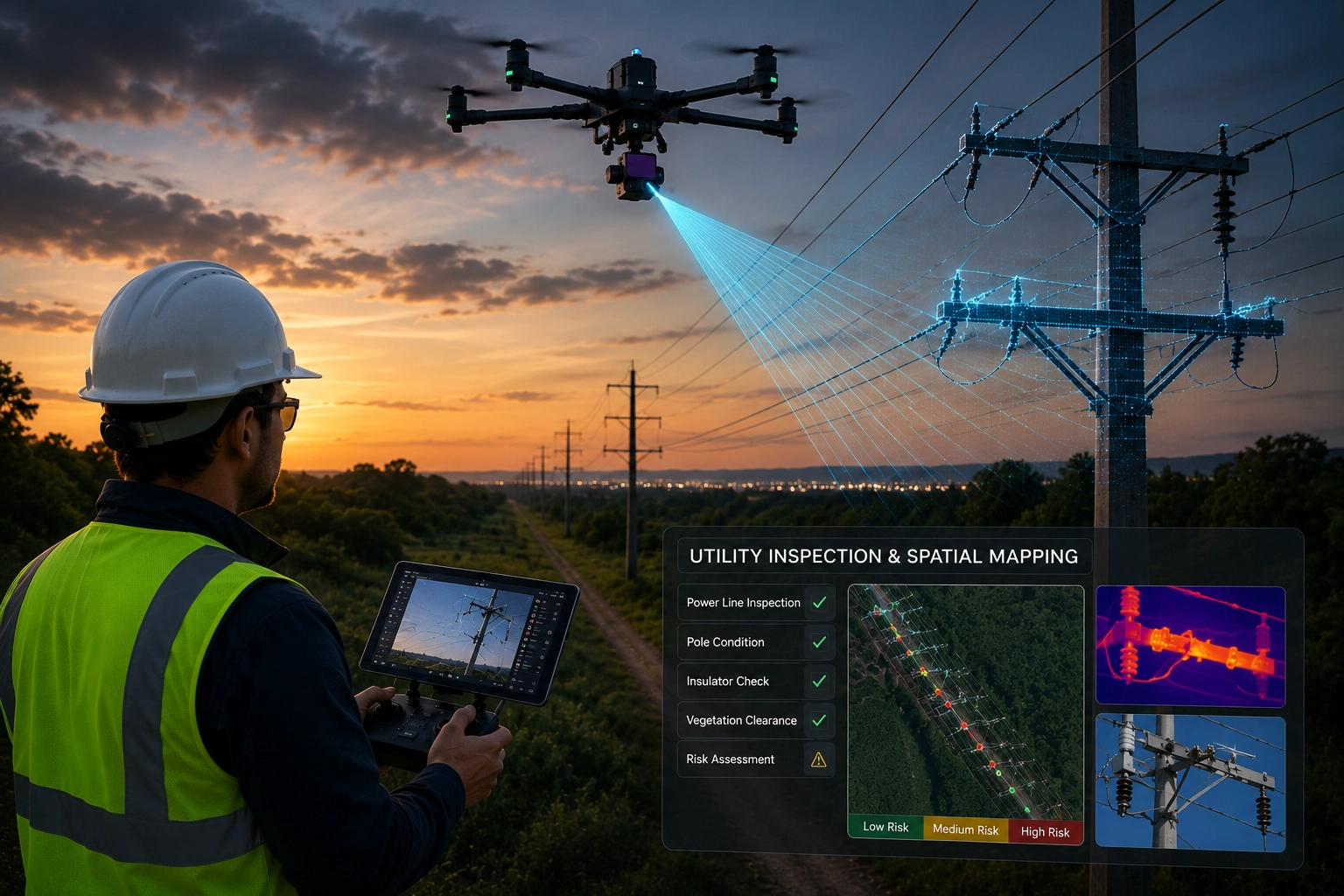
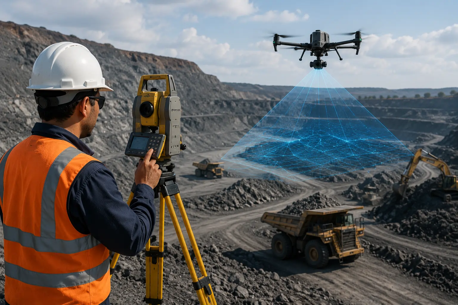
Showcasing our surveying, geospatial, drone, and infrastructure project experience across Papua New Guinea.
A glimpse into the precision, technology, and expertise we bring to every project.
A structured approach that ensures quality and timely delivery.
Understanding project scope and survey requirements.
Accurate data capture using modern equipment.
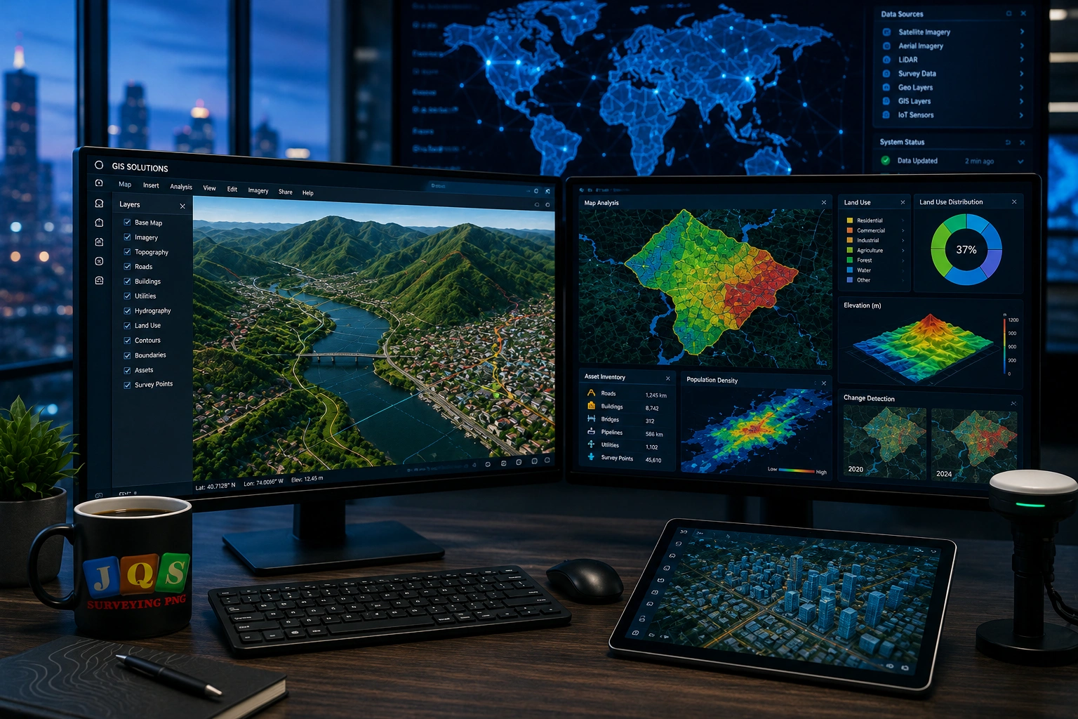
Geospatial analysis, mapping, modeling, and QA.
Reliable outputs delivered professionally and on time.
Let's discuss your requirements and deliver the right geospatial solution.
Start Your Project