info@jqssurveyingpng.com
Papua New Guinea

Our Equipment & Technology

Modern surveying and geospatial technology delivering precision, efficiency, and reliable project outcomes.

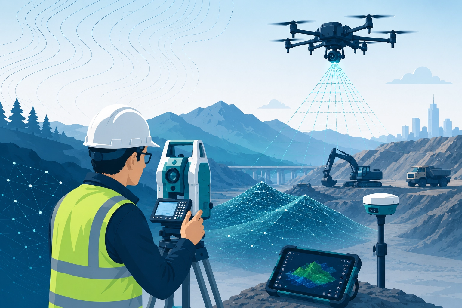
Advanced Survey Technology

We invest in modern equipment to ensure accurate, efficient, and dependable project delivery.
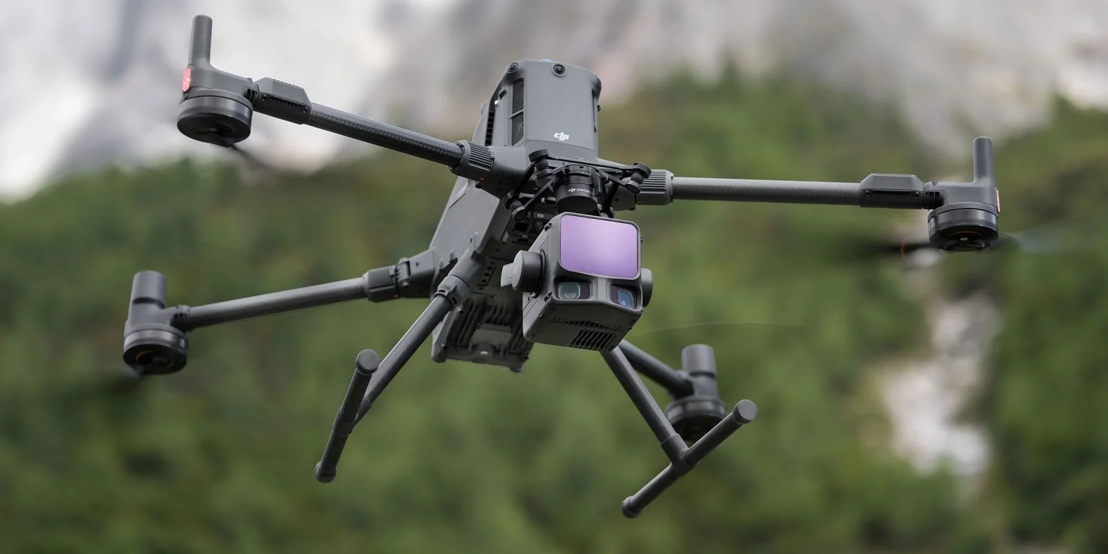
DJI Matrice 400

DJI Matrice 400

Enterprise drone platform for advanced aerial surveying, mapping, inspections, and industrial geospatial operations.
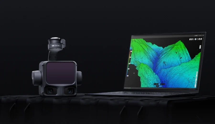
Zenmuse L3

Zenmuse L3 LiDAR

High-performance LiDAR payload for terrain mapping, vegetation penetration, and accurate 3D geospatial capture.
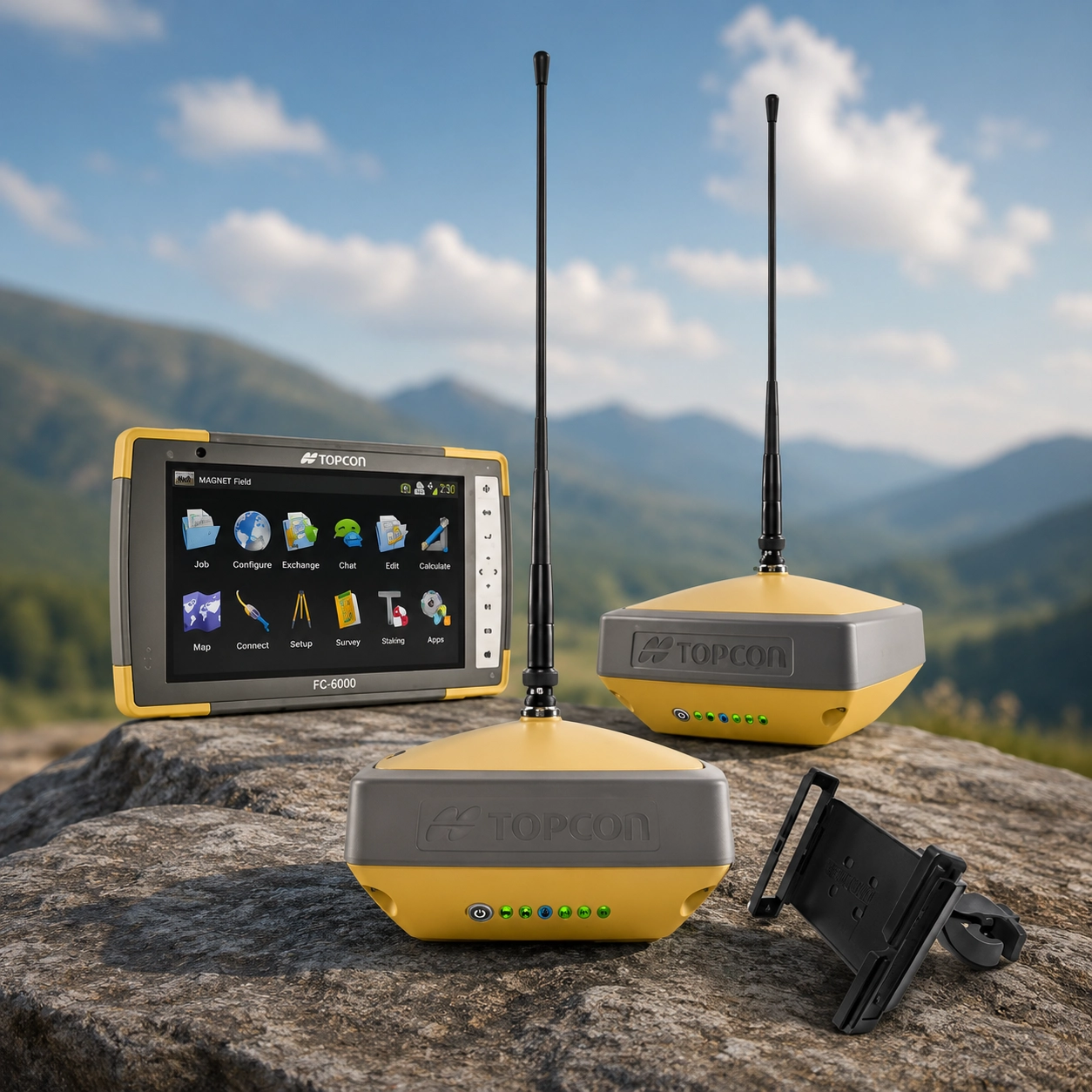
GNSS

RTK GNSS Systems

Precision positioning systems for boundary surveys, topographic mapping, and engineering applications.
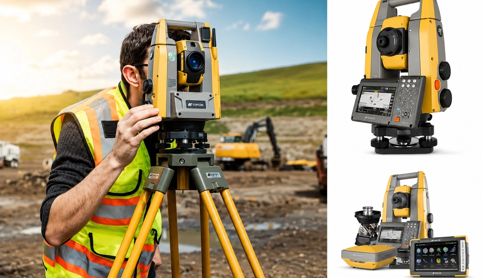
Total Station

Total Stations

Accurate angle and distance measurement equipment for engineering and construction survey work.

Software & Processing Capabilities

Turning field data into accurate deliverables and actionable insights.

GIS Platforms

Spatial analysis, mapping, and asset management workflows.

LiDAR Processing

Point cloud processing, terrain models, and 3D analysis.

Photogrammetry

Orthophotos, DEMs, and drone imagery processing workflows.

CAD Integration

Engineering design and survey data interoperability support.

Why Modern Equipment Matters

  • Higher survey accuracy
  • Faster project completion
  • Safer remote inspections
  • Advanced aerial LiDAR mapping
  • Reduced operational downtime
  • Professional-quality deliverables

Technology That Delivers Results

Partner with a team equipped for modern surveying and geospatial challenges.

Request A Quote