What We Offer
Delivering modern geospatial solutions with precision, reliability, and innovation.
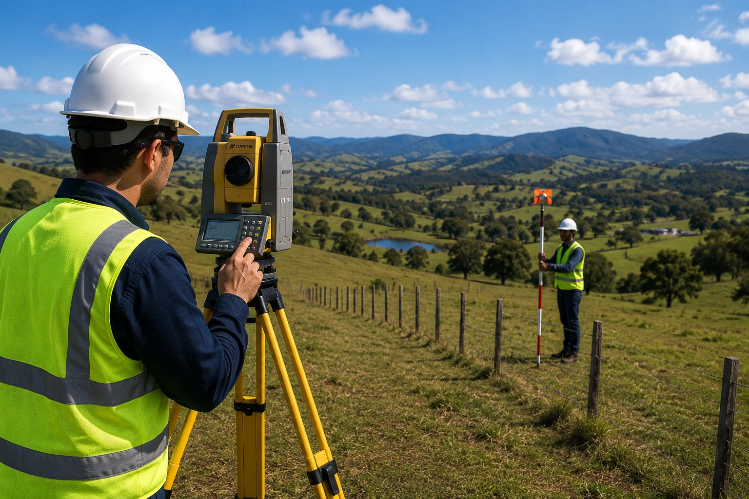
Land Surveying
Boundary surveys, cadastral surveys, topographic mapping, and land subdivision support.

Drone Mapping & LiDAR Services
Aerial mapping, orthophotos, terrain models, inspections, and LiDAR data acquisition.

GIS Solutions
Mapping systems, spatial analysis, asset databases, and digital geospatial workflows.

Engineering Surveys
Precision surveying for civil engineering, infrastructure planning, and design implementation.
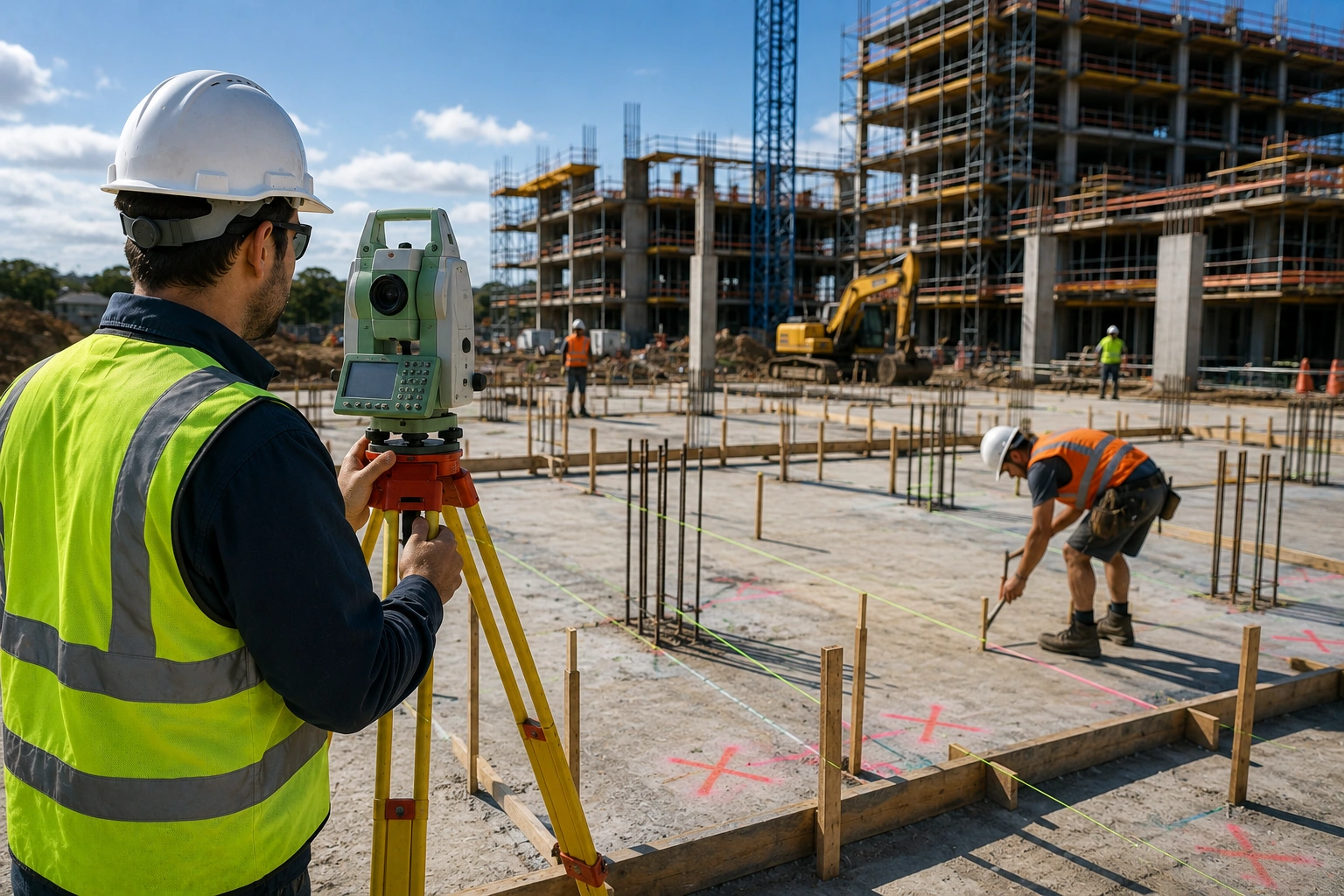
Construction Setout
Accurate layout and construction positioning for roads, buildings, utilities, and developments.

Infrastructure Support
Survey support for utilities, transport, mining, telecommunications, and development projects.